
Íomhá:Map of Alaska highlighting Petersburg Census Area.svg

Size of this PNG preview of this SVG file: 800 × 423 picteilín. Other resolutions: 320 × 169 picteilín | 640 × 338 picteilín | 1,024 × 541 picteilín | 1,280 × 677 picteilín | 2,560 × 1,353 picteilín | 1,470 × 777 picteilín.
Taispeáin leagan ardtaifigh den íomhá (Comhad SVG, ainmniúil 1,470 × 777 picteilíni, méid comhaid: 428 KB)
| Seo comhad as An Cómhaoin Viciméid. Tá an tuairisc as an leathanach tuairisc Cómhaoin a leanas thíos.
|
| Tuairisc | |||
| Dáta | |||
| Foinse | Obair féin | ||
| Údar | Dtbohrer | ||
| Ceadúnas (Athúsáid a bhaint as an gcomhad seo) |
|
||
| Leaganacha eile |
 |
||
| SVG genesis |
Stair chomhaid
Cliceáil ar dáta/am chun an comhad a radharc mar a bhí sé ag an am sin.
| Dáta/Am | Mionsamhail | Toisí | Úsáideoir | Nóta tráchta | |
|---|---|---|---|---|---|
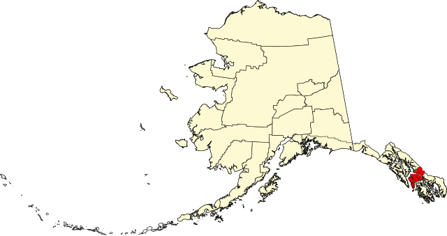
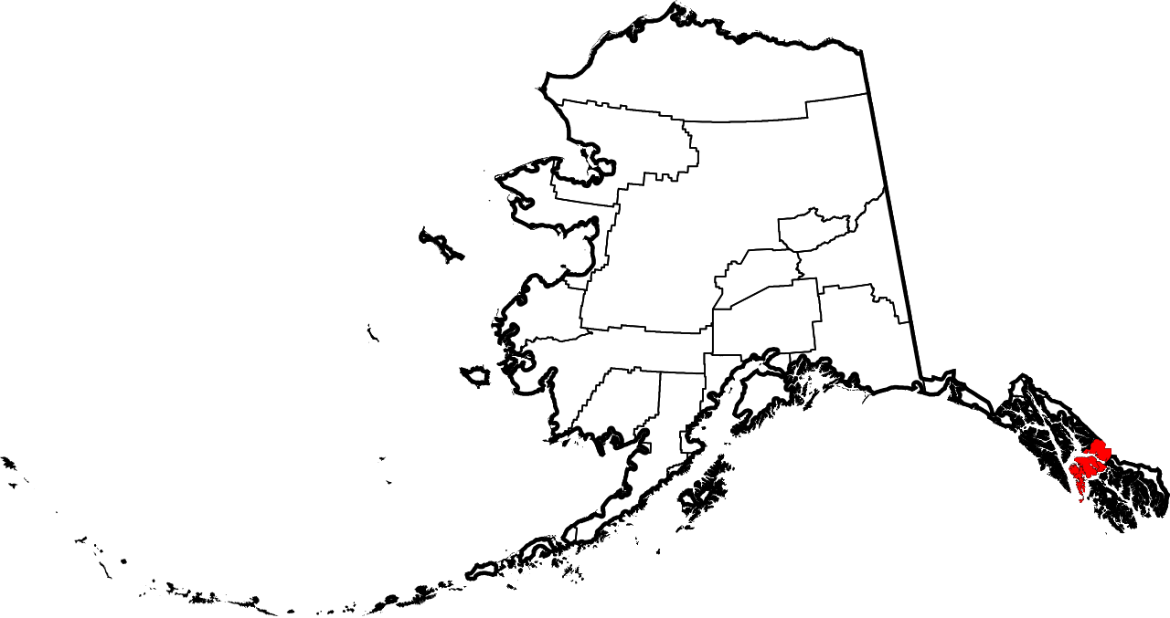
| faoi láthair | 22:17, 25 Eanáir 2009 | | 1,470 × 777 (428 KB) | Niagara | == Summary == {{Information |Description={{en|1=Map of Alaska highlighting the Petersburg Census Area}} |Source=self made |Author=Dtbohrer |Date=January 25, 2009 |Permission= |other_versi |
Úsáid comhaid
Tá nasc chuig an gcomhad seo ar na leathanaigh seo a leanas:
Global file usage
The following other wikis use this file:
- Úsáid ar ca.wikipedia.org
- Úsáid ar ce.wikipedia.org
- Úsáid ar cy.wikipedia.org
- Úsáid ar de.wikipedia.org
- Úsáid ar en.wikipedia.org
- List of boroughs and census areas in Alaska
- Petersburg Borough, Alaska
- Mitkof Island
- Wrangell Narrows
- Frederick Sound
- Sumner Strait
- Chatham Strait
- Petrof Bay
- LeConte Glacier
- Wikipedia:WikiProject Alaska
- LeConte Bay
- Chuck River Wilderness
- ABC Islands (Alaska)
- Lloyd R. Roundtree Seaplane Facility
- Sebree Peak
- Lindenberg Peninsula
- Template:PetersburgAK-geo-stub
- Duncan Canal (Alaska)
- Favor Peak
- Sam Peak
- Manzanita Peak
- Duncan Canal (volcanic field)
- National Register of Historic Places listings in Petersburg Borough, Alaska
- Kates Needle
- Woewodski Island
- Charles W
- Category:Populated places in Petersburg Borough, Alaska
- Petersburg Creek–Duncan Salt Chuck Wilderness
- Dry Strait
- User:AridCeption/sandbox
- Úsáid ar es.wikipedia.org
- Úsáid ar fi.wikipedia.org
- Úsáid ar fr.wikipedia.org
- Úsáid ar hu.wikipedia.org
- Úsáid ar ja.wikipedia.org
- Úsáid ar ko.wikipedia.org
- Úsáid ar nds.wikipedia.org
- Úsáid ar pl.wikipedia.org
- Úsáid ar pnb.wikipedia.org
View more global usage of this file.