
Íomhá:Cumbria outline map with UK.png
Size of this preview: 504 × 600 picteilín. Other resolutions: 202 × 240 picteilín | 600 × 714 picteilín.
Taispeáin leagan ardtaifigh den íomhá (600 × 714 picteilín, méid comhaid: 352 KB, cineál MIME: image/png)
| Seo comhad as An Cómhaoin Viciméid. Tá an tuairisc as an leathanach tuairisc Cómhaoin a leanas thíos.
|
Achoimriú
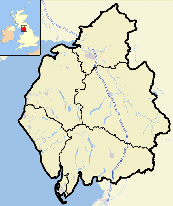
| Tuairisc | Map of the county of Cumbria, England, United Kingdom |
| Dáta | |
| Foinse | Obair féin |
| Údar | Jhamez84 |
Ceadúnú
| I, the copyright holder of this work, release this work into the public domain. This applies worldwide. In some countries this may not be legally possible; if so: I grant anyone the right to use this work for any purpose, without any conditions, unless such conditions are required by law. |
Stair chomhaid
Cliceáil ar dáta/am chun an comhad a radharc mar a bhí sé ag an am sin.
| Dáta/Am | Mionsamhail | Toisí | Úsáideoir | Nóta tráchta | |
|---|---|---|---|---|---|
| faoi láthair | 12:37, 13 Lúnasa 2007 | | 600 × 714 (352 KB) | Jza84 | {{Information |Description=Map of the county of Cumbria, England, United Kingdom |Source=self-made |Date=August 2007 |Author= Jhamez84 }} |
Úsáid comhaid
Níl nasc ó aon leathanach eile don íomhá seo.
Global file usage
The following other wikis use this file:
- Úsáid ar bg.wikipedia.org
- Úsáid ar en.wikipedia.org
- Úsáid ar sk.wikipedia.org