
Íomhá:Map of Peninsular Malaysia with third-level administrative divisions.svg

Size of this PNG preview of this SVG file: 544 × 600 picteilín. Other resolutions: 218 × 240 picteilín | 435 × 480 picteilín | 696 × 768 picteilín | 928 × 1,024 picteilín | 1,857 × 2,048 picteilín | 739 × 815 picteilín.
Taispeáin leagan ardtaifigh den íomhá (Comhad SVG, ainmniúil 739 × 815 picteilíni, méid comhaid: 9.24 MB)
| Seo comhad as An Cómhaoin Viciméid. Tá an tuairisc as an leathanach tuairisc Cómhaoin a leanas thíos.
|
Achoimriú
| Tuairisc |
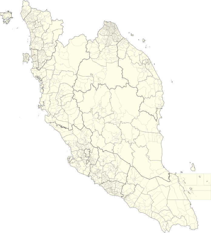
English: Map of Peninsular Malaysia with third-level administrative divisions (Mukim/Bandar/Pekan) |
| Dáta | |
| Foinse | [1] via Unique Parcel Identifier (UPI) |
| Údar | Unique Parcel Identifier (UPI) |
Ceadúnú
This file is licensed under the Creative Commons Attribution-Share Alike 4.0 International license.
- Is féidir:
- an saothar seo a roinnt – an saothar seo a chóipeáil, a dháil amach, agus a tharchur
- an saothar seo a athmheascadh – an saothar seo a oiriúnú
- Ach amháin má leantar na coinníollacha seo a leanas:
- sannadh – Ní mor creidiúint a thabhairt leis an saothar, faoi mar a shonraigh an údar nó tabharthóir an ceadúnais (ach ná húsáid modh a thugann le fios go thacaíonn sé/sí tú féin nó an úsáid a bhaineann tú as an saothar).
- comhroinn araon – Má athraíonn tú nó síneann tú amach an saothar seo, ní féidir é a dháileadh ach amhaín faoin gceadúnas céanna nó ceann cosúil leis an gceann seo.
Stair chomhaid
Cliceáil ar dáta/am chun an comhad a radharc mar a bhí sé ag an am sin.
| Dáta/Am | Mionsamhail | Toisí | Úsáideoir | Nóta tráchta | |
|---|---|---|---|---|---|
| faoi láthair | 05:26, 10 Iúil 2021 | | 739 × 815 (9.24 MB) | Zh9567 | Uploaded a work by [https://mygos.mygeoportal.gov.my/upi/ Unique Parcel Identifier (UPI)] from [https://github.com/justinelliotmeyers/Malaysia_Official_Boundaries_2021] via [https://mygos.mygeoportal.gov.my/upi/ Unique Parcel Identifier (UPI)] with UploadWizard |
Úsáid comhaid
Níl nasc ó aon leathanach eile don íomhá seo.
Global file usage
The following other wikis use this file:
- Úsáid ar en.wikipedia.org
- Úsáid ar id.wikipedia.org
- Úsáid ar ms.wikipedia.org
- Úsáid ar zh.wikipedia.org