
Íomhá:Dublin map.png
Size of this preview: 746 × 600 picteilín. Other resolutions: 299 × 240 picteilín | 597 × 480 picteilín | 914 × 735 picteilín.
Taispeáin leagan ardtaifigh den íomhá (914 × 735 picteilín, méid comhaid: 692 KB, cineál MIME: image/png)
| Seo comhad as An Cómhaoin Viciméid. Tá an tuairisc as an leathanach tuairisc Cómhaoin a leanas thíos.
|
Achoimriú
| Tuairisc |
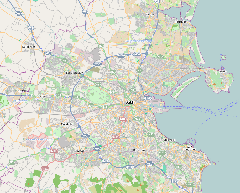
English: Dublin city location map. |
| Dáta | |
| Foinse | http://www.openstreetmap.org |
| Údar | http://www.openstreetmap.org |
| Ceadúnas (Athúsáid a bhaint as an gcomhad seo) |
OpenStreetMap is a free editable map of the whole world. It is made by people like you. |
Ceadúnú
This file is licensed under the Creative Commons Attribution-Share Alike 3.0 Unported license.
- Is féidir:
- an saothar seo a roinnt – an saothar seo a chóipeáil, a dháil amach, agus a tharchur
- an saothar seo a athmheascadh – an saothar seo a oiriúnú
- Ach amháin má leantar na coinníollacha seo a leanas:
- sannadh – Ní mor creidiúint a thabhairt leis an saothar, faoi mar a shonraigh an údar nó tabharthóir an ceadúnais (ach ná húsáid modh a thugann le fios go thacaíonn sé/sí tú féin nó an úsáid a bhaineann tú as an saothar).
- comhroinn araon – Má athraíonn tú nó síneann tú amach an saothar seo, ní féidir é a dháileadh ach amhaín faoin gceadúnas céanna nó ceann cosúil leis an gceann seo.
Stair chomhaid
Cliceáil ar dáta/am chun an comhad a radharc mar a bhí sé ag an am sin.
| Dáta/Am | Mionsamhail | Toisí | Úsáideoir | Nóta tráchta | |
|---|---|---|---|---|---|
| faoi láthair | 17:05, 30 Meitheamh 2011 | | 914 × 735 (692 KB) | Euskaldunaa | {{Information |Description ={{en|1=Dublin city location map.}} |Source =http://www.openstreetmap.org |Author =http://www.openstreetmap.org |Date =2011-6-30 |Permission =OpenStreetMap is a free editable map of the whole wor |
Úsáid comhaid
Níl nasc ó aon leathanach eile don íomhá seo.
Global file usage
The following other wikis use this file:
- Úsáid ar azb.wikipedia.org
- Úsáid ar bn.wikipedia.org
- Úsáid ar en.wikipedia.org
- Finglas
- National Botanic Gardens (Ireland)
- Ballsbridge
- National Print Museum
- Trinity College Dublin
- Áras an Uachtaráin
- Phoenix Park
- Steward's Lodge
- Battle of Clontarf
- Swords, Dublin
- Kilmainham Gaol
- Glenageary
- Blackrock, Dublin
- Dublin Airport
- Lansdowne Road
- Merrion Square
- Sydney Parade Avenue
- Dublin Bay
- Ballymun
- Ailesbury Road
- Dalkey
- Sandymount
- Rathfarnham
- Farmleigh
- Ballyfermot
- Blanchardstown
- Tallaght
- National Aquatic Centre
- Templeogue
- Terenure
- Temple Bar, Dublin
- Pearse Museum
- Knocklyon
- Rathfarnham Castle
- St Stephen's Green
- Ranelagh
- Malahide
- Kilmainham
- Monkstown, County Dublin
- Heuston railway station
- Forty Foot
- Sutton, Dublin
- Sandyford
- Coolock
- Lucan, Dublin
- Mulhuddart
View more global usage of this file.