
Íomhá:Wiltshire UK locator map 2010.svg

Size of this PNG preview of this SVG file: 494 × 600 picteilín. Other resolutions: 198 × 240 picteilín | 395 × 480 picteilín | 633 × 768 picteilín | 843 × 1,024 picteilín | 1,687 × 2,048 picteilín | 1,108 × 1,345 picteilín.
Taispeáin leagan ardtaifigh den íomhá (Comhad SVG, ainmniúil 1,108 × 1,345 picteilíni, méid comhaid: 302 KB)
| Seo comhad as An Cómhaoin Viciméid. Tá an tuairisc as an leathanach tuairisc Cómhaoin a leanas thíos.
|
Achoimriú
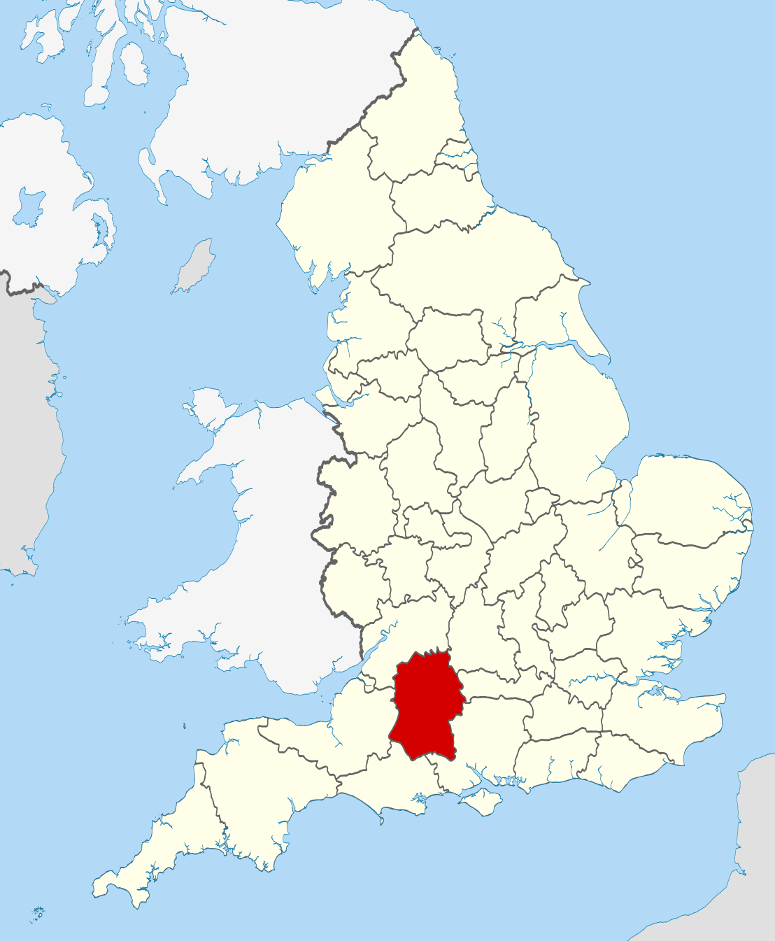
| Tuairisc | Location of the ceremonial county of Wiltshire within England. |
| Dáta | |
| Foinse |
National Geospatial-Intelligence Agency
|
| Údar | Nilfanion |
| SVG genesis | This W3C-invalid vector image was created with unknown tool. |
Ceadúnú
Is mise sealbhóir cóipchirt an shaothair seo agus foilsím é faoi na ceadúnais seo a leanas:
This file is licensed under the Creative Commons Attribution-Share Alike 3.0 Unported license.
- Is féidir:
- an saothar seo a roinnt – an saothar seo a chóipeáil, a dháil amach, agus a tharchur
- an saothar seo a athmheascadh – an saothar seo a oiriúnú
- Ach amháin má leantar na coinníollacha seo a leanas:
- sannadh – Ní mor creidiúint a thabhairt leis an saothar, faoi mar a shonraigh an údar nó tabharthóir an ceadúnais (ach ná húsáid modh a thugann le fios go thacaíonn sé/sí tú féin nó an úsáid a bhaineann tú as an saothar).
- comhroinn araon – Má athraíonn tú nó síneann tú amach an saothar seo, ní féidir é a dháileadh ach amhaín faoin gceadúnas céanna nó ceann cosúil leis an gceann seo.

|
Tugtar cead an doiciméad seo a chóipeáil, a dháileadh agus/nó a mhodhnú faoi théarmaí an Ceadúnas Doiciméadúcháin Saor ó GNU, Leagan 1.2 nó aon leagan níos déanaí a d’fhoilsigh an Fondúireacht Bogearraí Saor in Aisce; gan aon Rannóga Inmheánacha, gan aon Téacsanna Clúdaigh Tosaigh, agus gan aon Téacsanna Clúdaigh Cúil. Tá cóip den cheadúnas san áireamh sa chuid dar teideal Ceadúnas Doiciméadúcháin Saor ó GNU. |
Is féidir leat a roghnú an ceadúnas do rogha

|
This is one of the images forming part of the Valued image set: Locator maps of the Ceremonial counties of England on Wikimedia Commons. The image set has been assessed under the valued image set criteria and is considered the most valued set on Commons within the scope:
Locator maps of the Ceremonial counties of England
You can see its nomination at Commons:Valued image candidates/Locator maps of English ceremonial counties. |
Stair chomhaid
Cliceáil ar dáta/am chun an comhad a radharc mar a bhí sé ag an am sin.
| Dáta/Am | Mionsamhail | Toisí | Úsáideoir | Nóta tráchta | |
|---|---|---|---|---|---|
| faoi láthair | 22:48, 23 Samhain 2010 | | 1,108 × 1,345 (302 KB) | Nilfanion | == Summary == {{Information |Description=Location of the ceremonial county of Wiltshire within England. |Source=Ordnance Survey [https://www.ordnancesurvey.co.uk/opendatadownload/products.html OpenData]: *County bound |
Úsáid comhaid
Tá nasc chuig an gcomhad seo ar na leathanaigh seo a leanas:
Global file usage
The following other wikis use this file:
- Úsáid ar af.wikipedia.org
- Úsáid ar ar.wikipedia.org
- Úsáid ar ast.wikipedia.org
- Úsáid ar be-tarask.wikipedia.org
- Úsáid ar be.wikipedia.org
- Úsáid ar bg.wikipedia.org
- Úsáid ar br.wikipedia.org
- Úsáid ar ca.wikipedia.org
- Úsáid ar ceb.wikipedia.org
- Úsáid ar cs.wikipedia.org
- Úsáid ar dag.wikipedia.org
- Úsáid ar en.wikipedia.org
- Wiltshire
- Brandier
- Kennet District
- North Wiltshire
- Kennet Avenue
- Beckhampton Avenue
- Broad Hinton and Winterbourne Bassett
- River Bourne, Wiltshire
- Little Woodbury
- Horpit
- Avon Valley Path
- Clarendon Way
- Old Sarum Way
- Bentley Wood
- Blackmoor Copse
- Ablington, Wiltshire
- Template:Wiltshire-geo-stub
- Queens Park, Swindon
- Brokenborough
- Goatacre
- Fonthill Lake
- Shearwater (lake)
- River Blackwater (River Test)
- River Dun (River Kennet)
- Clatford
- Stockley, Wiltshire
- Hook, Wiltshire
- Wessex Ridgeway
- Milk Hill
- Aughton, Wiltshire
- Charnage Down Chalk Pit
- Corsham Railway Cutting
- Dead Maid Quarry
- Dinton Quarry
- Dinton Railway Cutting
View more global usage of this file.