
Íomhá:West Dunbartonshire council.PNG
Size of this preview: 480 × 599 picteilín. Other resolutions: 192 × 240 picteilín | 384 × 480 picteilín | 615 × 768 picteilín | 820 × 1,024 picteilín | 1,641 × 2,048 picteilín | 2,733 × 3,411 picteilín.
Taispeáin leagan ardtaifigh den íomhá (2,733 × 3,411 picteilín, méid comhaid: 208 KB, cineál MIME: image/png)
| Seo comhad as An Cómhaoin Viciméid. Tá an tuairisc as an leathanach tuairisc Cómhaoin a leanas thíos.
|
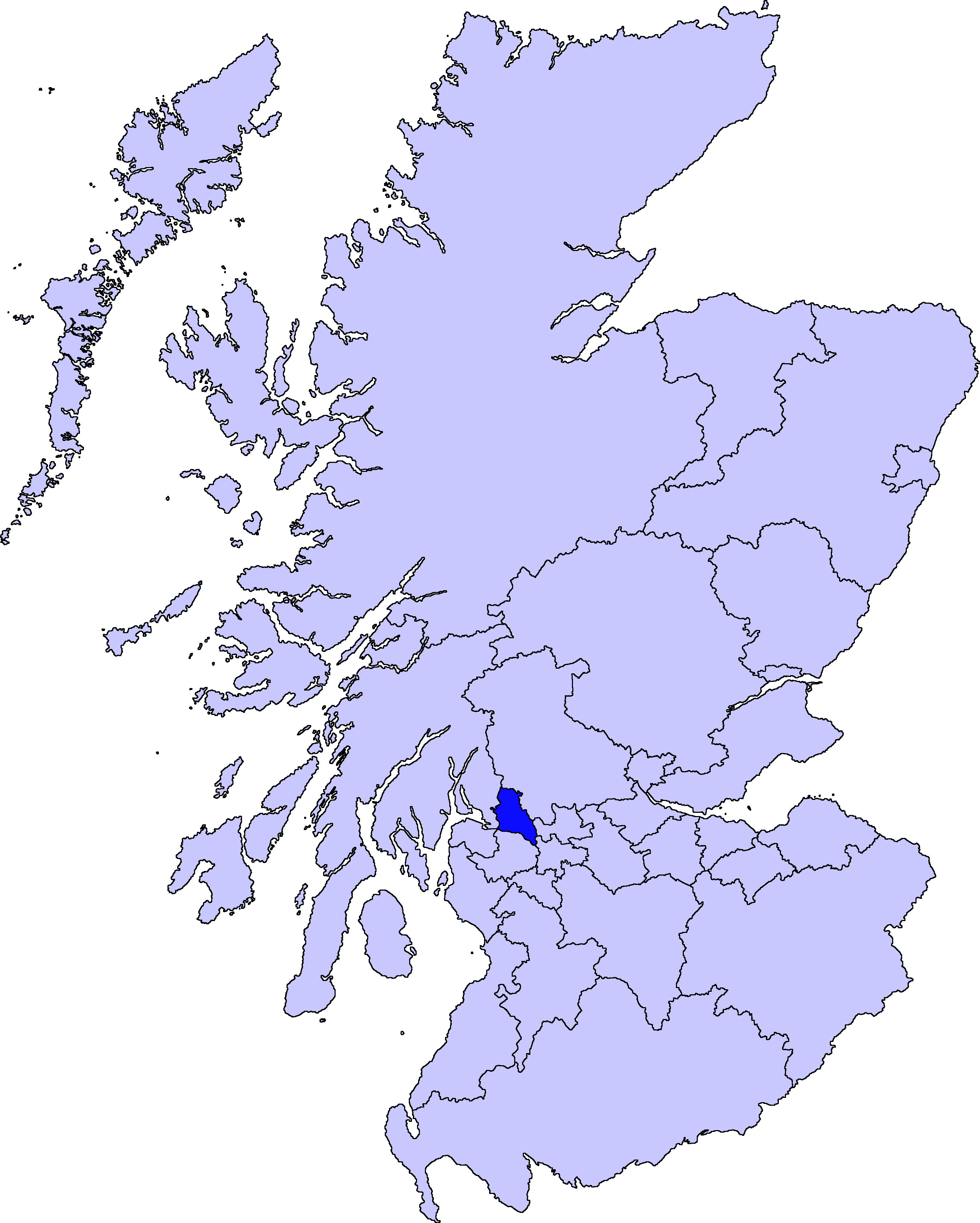
| Tuairisc | map of West Dunbartonshire | ||||||||
| Dáta | |||||||||
| Foinse |
Is mise Barryob, sealbhóir cóipchirt an shaothair seo, agus foilsím é faoi na ceadúnais seo a leanas:
|
||||||||
| Údar | User:Barryob |

Stair chomhaid
Cliceáil ar dáta/am chun an comhad a radharc mar a bhí sé ag an am sin.
| Dáta/Am | Mionsamhail | Toisí | Úsáideoir | Nóta tráchta | |
|---|---|---|---|---|---|
| faoi láthair | 05:06, 10 Aibreán 2007 | | 2,733 × 3,411 (208 KB) | Barryob | |
| 21:56, 8 Aibreán 2007 |  | 2,733 × 3,411 (209 KB) | Barryob | ||
| 01:17, 4 Aibreán 2007 |  | 2,733 × 3,411 (208 KB) | Barryob | {{Information |Description=map of West Dunbartonshire |Source={{GFDL-user|Barryob}} |Date=2006-04-04 |Author=User:Barryob |Permission= |other_versions= }} Category:Maps of unitary councils of Scotland |
Úsáid comhaid
Níl nasc ó aon leathanach eile don íomhá seo.
Global file usage
The following other wikis use this file:
- Úsáid ar be.wikipedia.org
- Úsáid ar ca.wikipedia.org
- Úsáid ar cy.wikipedia.org
- Úsáid ar en.wikipedia.org
- Úsáid ar eu.wikipedia.org
- Mendebaldeko Dunbartonshire
- Dumbarton
- Lankide:Euskaldunaa
- Clydebank
- Txantiloi:Mendebaldeko Dunbartonshire
- Wikiproiektu:Irlanda, Gales eta Eskoziako udalerriak
- Alexandria (Mendebaldeko Dunbartonshire)
- Balloch (Mendebaldeko Dunbartonshire)
- Bonhill
- Bowling (Mendebaldeko Dunbartonshire)
- Dalmuir
- Duntocher
- Gartocharn
- Hardgate
- Jamestown (Mendebaldeko Dunbartonshire)
- Milton (Mendebaldeko Dunbartonshire)
- Old Kilpatrick
- Renton (Mendebaldeko Dunbartonshire)
- Faifley
- Drumry
- Whitecrook
- Úsáid ar gd.wikipedia.org
- Úsáid ar ja.wikipedia.org
- Úsáid ar nl.wikipedia.org
- Úsáid ar nn.wikipedia.org
- Úsáid ar pt.wikipedia.org
- Úsáid ar zh.wikipedia.org