
Íomhá:Txu-pclmaps-topo-us-saint lawrence-1970.jpg
Size of this preview: 778 × 599 picteilín. Other resolutions: 312 × 240 picteilín | 623 × 480 picteilín | 997 × 768 picteilín | 1,280 × 986 picteilín | 2,560 × 1,972 picteilín | 5,957 × 4,589 picteilín.
Taispeáin leagan ardtaifigh den íomhá (5,957 × 4,589 picteilín, méid comhaid: 4.29 MB, cineál MIME: image/jpeg)
| Seo comhad as An Cómhaoin Viciméid. Tá an tuairisc as an leathanach tuairisc Cómhaoin a leanas thíos.
|
Achoimriú
| Tuairisc |
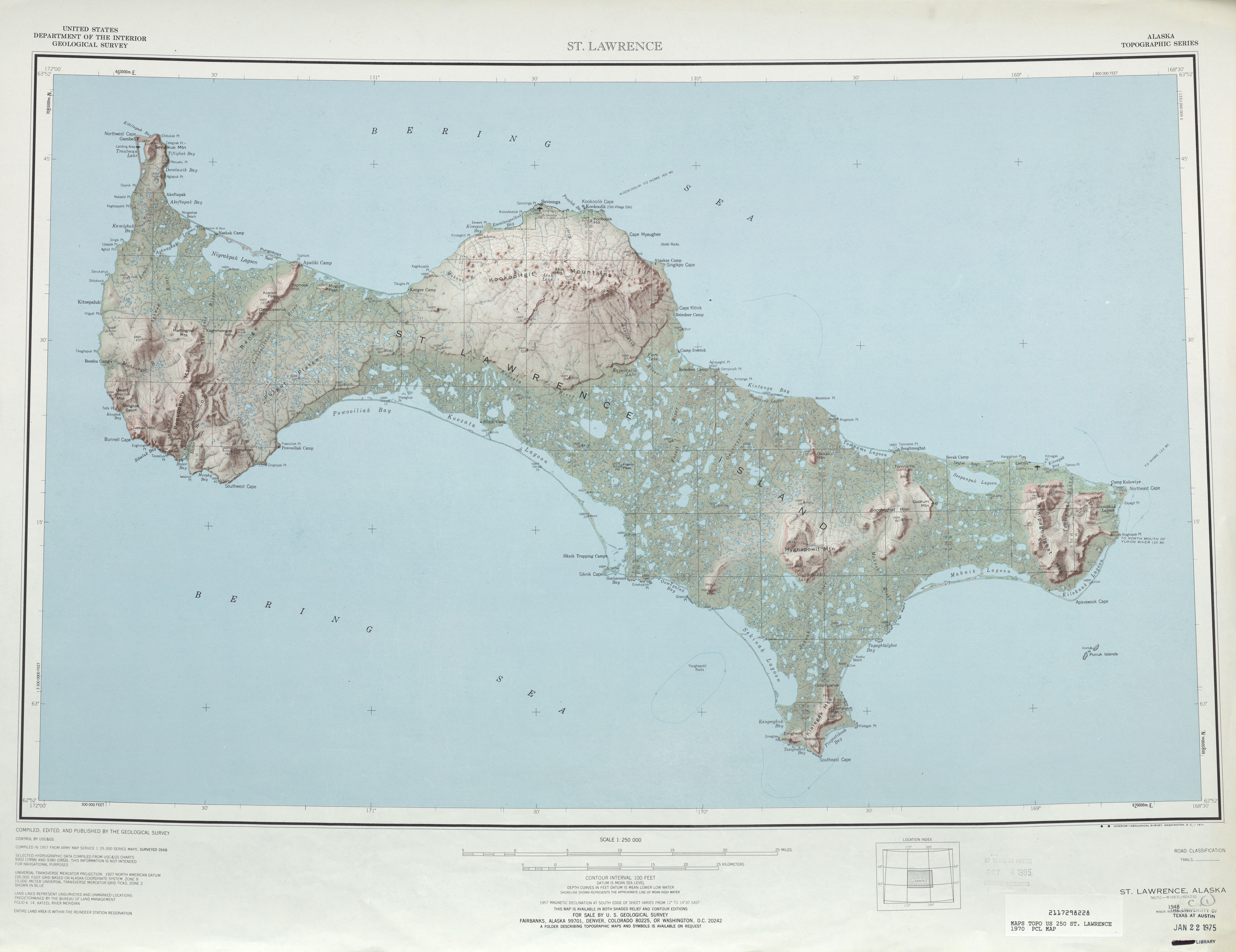
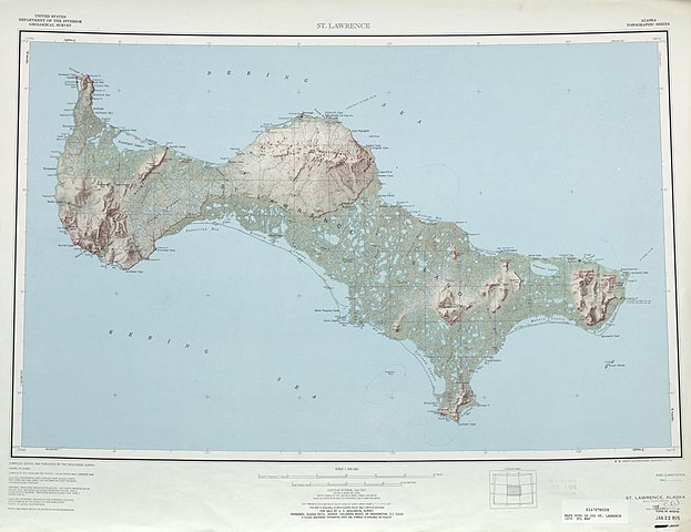
English: map sheet of Saint Lawrence Island, Alaska |
| Dáta | |
| Foinse | http://www.lib.utexas.edu/maps/topo/250k/txu-pclmaps-topo-us-saint_lawrence-1970.jpg |
| Údar | US Geological Survey |
| Leaganacha eile |
.jpg)
Ceadúnú
This image is in the public domain in the United States because it only contains materials that originally came from the United States Geological Survey, an agency of the United States Department of the Interior. For more information, see the official USGS copyright policy.
|
Stair chomhaid
Cliceáil ar dáta/am chun an comhad a radharc mar a bhí sé ag an am sin.
| Dáta/Am | Mionsamhail | Toisí | Úsáideoir | Nóta tráchta | |
|---|---|---|---|---|---|
| faoi láthair | 21:45, 1 Deireadh Fómhair 2010 | | 5,957 × 4,589 (4.29 MB) | Ratzer | {{Information |Description={{en|1=map sheet of Saint Lawrence Island, Alaska}} |Source=http://www.lib.utexas.edu/maps/topo/250k/txu-pclmaps-topo-us-saint_lawrence-1970.jpg |Author=US Geological Survey |Date=1970 |Permission= |other_versions= }} [[Categor |
Úsáid comhaid
Níl nasc ó aon leathanach eile don íomhá seo.
Global file usage
The following other wikis use this file:
- Úsáid ar ar.wikipedia.org
- Úsáid ar be.wikipedia.org
- Úsáid ar bg.wikipedia.org
- Úsáid ar ca.wikipedia.org
- Úsáid ar ceb.wikipedia.org
- Úsáid ar cs.wikipedia.org
- Úsáid ar da.wikipedia.org
- Úsáid ar de.wikipedia.org
- Úsáid ar el.wikipedia.org
- Úsáid ar en.wikipedia.org
- Úsáid ar eo.wikipedia.org
- Úsáid ar es.wikipedia.org
- Úsáid ar eu.wikipedia.org
- Úsáid ar fa.wikipedia.org
- Úsáid ar fr.wikipedia.org
- Úsáid ar fy.wikipedia.org
- Úsáid ar he.wikipedia.org
- Úsáid ar id.wikipedia.org
- Úsáid ar incubator.wikimedia.org
- Úsáid ar it.wikipedia.org
- Úsáid ar ja.wikipedia.org
- Úsáid ar no.wikipedia.org
- Úsáid ar pl.wikipedia.org
- Úsáid ar ru.wikipedia.org
- Úsáid ar sco.wikipedia.org
- Úsáid ar simple.wikipedia.org
- Úsáid ar th.wikipedia.org
- Úsáid ar www.wikidata.org
- Úsáid ar zh.wikipedia.org