
Íomhá:Thailand location map.svg

Size of this PNG preview of this SVG file: 341 × 600 picteilín. Other resolutions: 136 × 240 picteilín | 273 × 480 picteilín | 436 × 768 picteilín | 582 × 1,024 picteilín | 1,164 × 2,048 picteilín | 1,051 × 1,849 picteilín.
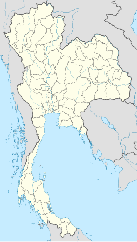
Taispeáin leagan ardtaifigh den íomhá (Comhad SVG, ainmniúil 1,051 × 1,849 picteilíni, méid comhaid: 662 KB)
| Seo comhad as An Cómhaoin Viciméid. Tá an tuairisc as an leathanach tuairisc Cómhaoin a leanas thíos.
|
Achoimriú
| Tuairisc |
Deutsch: Positionskarte von Thailand
Quadratische Plattkarte, N-S-Streckung 103 %. Geographische Begrenzung der Karte:
English: Location map of Thailand
Equirectangular projection, N/S stretching 103 %. Geographic limits of the map:
|
| Dáta | |
| Foinse |
Obair féin, using
|
| Údar | NordNordWest |

|
This map has been made or improved in the German Kartenwerkstatt (Map Lab). You can propose maps to improve as well.
|
Ceadúnú
Is mise sealbhóir cóipchirt an shaothair seo agus foilsím é faoi na ceadúnais seo a leanas:

|
Tugtar cead an doiciméad seo a chóipeáil, a dháileadh agus/nó a mhodhnú faoi théarmaí an Ceadúnas Doiciméadúcháin Saor ó GNU, Leagan 1.2 nó aon leagan níos déanaí a d’fhoilsigh an Fondúireacht Bogearraí Saor in Aisce; gan aon Rannóga Inmheánacha, gan aon Téacsanna Clúdaigh Tosaigh, agus gan aon Téacsanna Clúdaigh Cúil. Tá cóip den cheadúnas san áireamh sa chuid dar teideal Ceadúnas Doiciméadúcháin Saor ó GNU. |
This file is licensed under the Creative Commons Attribution 3.0 Unported license.
- Is féidir:
- an saothar seo a roinnt – an saothar seo a chóipeáil, a dháil amach, agus a tharchur
- an saothar seo a athmheascadh – an saothar seo a oiriúnú
- Ach amháin má leantar na coinníollacha seo a leanas:
- sannadh – Ní mor creidiúint a thabhairt leis an saothar, faoi mar a shonraigh an údar nó tabharthóir an ceadúnais (ach ná húsáid modh a thugann le fios go thacaíonn sé/sí tú féin nó an úsáid a bhaineann tú as an saothar).
Is féidir leat a roghnú an ceadúnas do rogha
Stair chomhaid
Cliceáil ar dáta/am chun an comhad a radharc mar a bhí sé ag an am sin.
| Dáta/Am | Mionsamhail | Toisí | Úsáideoir | Nóta tráchta | |
|---|---|---|---|---|---|
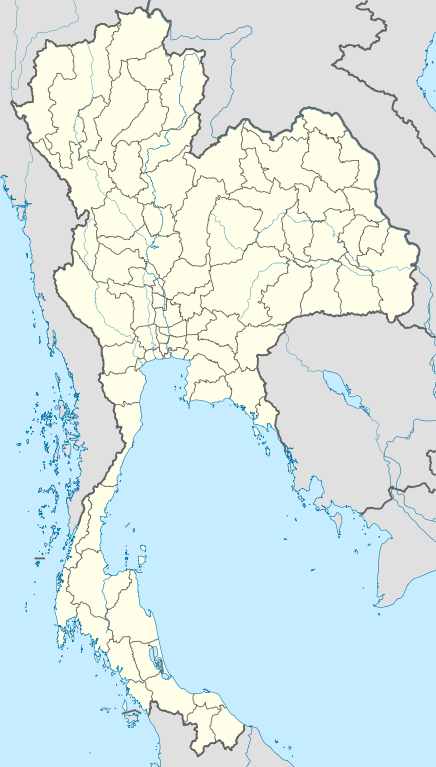
| faoi láthair | 13:05, 22 Márta 2011 | | 1,051 × 1,849 (662 KB) | NordNordWest | update, new province |
| 18:00, 14 Aibreán 2009 |  | 1,052 × 1,849 (1.04 MB) | NordNordWest | corr | |
| 19:57, 29 Márta 2009 |  | 1,053 × 1,852 (924 KB) | NordNordWest | corr | |
| 18:03, 29 Márta 2009 |  | 1,053 × 1,852 (924 KB) | NordNordWest | corr | |
| 19:08, 28 Márta 2009 |  | 1,053 × 1,852 (925 KB) | NordNordWest | {{Information |Description= {{de|Positionskarte von Thailand}} Quadratische Plattkarte, N-S-Streckung 103 %. Geographische Begrenzung der Karte: * N: 20.6° N * S: 5.4° N * W: 97.1° O * O: 106.0° O {{en|Location map of [[:en:Thailand|T |
Úsáid comhaid
Níl nasc ó aon leathanach eile don íomhá seo.
Global file usage
The following other wikis use this file:
- Úsáid ar af.wikipedia.org
- Úsáid ar als.wikipedia.org
- Úsáid ar an.wikipedia.org
- Úsáid ar ar.wikipedia.org
- Úsáid ar ast.wikipedia.org
- Úsáid ar az.wikipedia.org
- Úsáid ar ba.wikipedia.org
- Úsáid ar be-tarask.wikipedia.org
- Úsáid ar be.wikipedia.org
View more global usage of this file.