
Íomhá:Spaarnwoude-village.jpg

Size of this preview: 800 × 480 picteilín. Other resolutions: 320 × 192 picteilín | 1,024 × 615 picteilín | 1,280 × 768 picteilín | 2,409 × 1,446 picteilín.
Taispeáin leagan ardtaifigh den íomhá (2,409 × 1,446 picteilín, méid comhaid: 560 KB, cineál MIME: image/jpeg)
| Seo comhad as An Cómhaoin Viciméid. Tá an tuairisc as an leathanach tuairisc Cómhaoin a leanas thíos.
|
|
This is an image of rijksmonument number 19912 Information from structured data: |
Achoimriú
| Tuairisc |
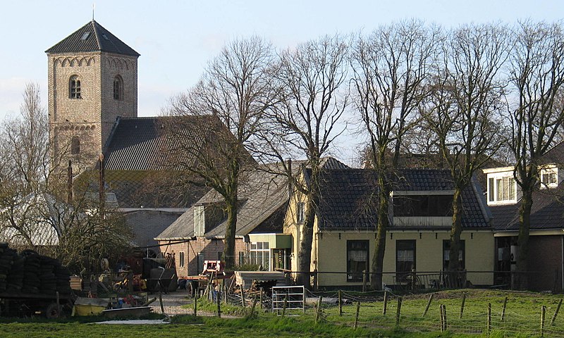
English: Village of Spaarnwoude |
| Dáta | |
| Foinse | Obair féin |
| Údar | Taks |
| Object location | | View this and other nearby images on: OpenStreetMap |
|---|
Ceadúnú
| I, the copyright holder of this work, release this work into the public domain. This applies worldwide. In some countries this may not be legally possible; if so: I grant anyone the right to use this work for any purpose, without any conditions, unless such conditions are required by law. |
Stair chomhaid
Cliceáil ar dáta/am chun an comhad a radharc mar a bhí sé ag an am sin.
| Dáta/Am | Mionsamhail | Toisí | Úsáideoir | Nóta tráchta | |
|---|---|---|---|---|---|
| faoi láthair | 09:08, 30 Márta 2009 | | 2,409 × 1,446 (560 KB) | Taks~commonswiki | {{Information |Description={{en|1=Village of Spaarnwoude}} |Source=eigen werk (own work) |Author=Taks |Date=march 2009 |Permission= |other_versions= }} <!--{{ImageUpload|full}}--> Category:Spaarnwoude Category:North Holland |
Úsáid comhaid
Tá nasc chuig an gcomhad seo ar na leathanaigh seo a leanas:
Global file usage
The following other wikis use this file:
- Úsáid ar ar.wikipedia.org
- Úsáid ar br.wikipedia.org
- Úsáid ar ca.wikipedia.org
- Úsáid ar ceb.wikipedia.org
- Úsáid ar en.wikipedia.org
- Úsáid ar eu.wikipedia.org
- Úsáid ar fa.wikipedia.org
- Úsáid ar fi.wikipedia.org
- Úsáid ar it.wikipedia.org
- Úsáid ar ms.wikipedia.org
- Úsáid ar nl.wikipedia.org
- Úsáid ar pl.wikipedia.org
- Úsáid ar ro.wikipedia.org
- Úsáid ar sv.wikipedia.org
- Úsáid ar uk.wikipedia.org
- Úsáid ar ur.wikipedia.org
- Úsáid ar vi.wikipedia.org
- Úsáid ar www.wikidata.org
- Úsáid ar zh-min-nan.wikipedia.org
- Úsáid ar zh.wikipedia.org