
Íomhá:Norfolk UK location map.svg

Size of this PNG preview of this SVG file: 800 × 497 picteilín. Other resolutions: 320 × 199 picteilín | 640 × 398 picteilín | 1,024 × 637 picteilín | 1,280 × 796 picteilín | 2,560 × 1,592 picteilín | 1,425 × 886 picteilín.
Taispeáin leagan ardtaifigh den íomhá (Comhad SVG, ainmniúil 1,425 × 886 picteilíni, méid comhaid: 1.93 MB)
| Seo comhad as An Cómhaoin Viciméid. Tá an tuairisc as an leathanach tuairisc Cómhaoin a leanas thíos.
|
| Tuairisc |
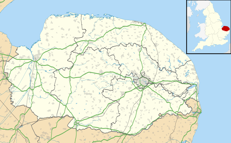
Map of Norfolk, UK with the following information shown:
Equirectangular map projection on WGS 84 datum, with N/S stretched 160% Geographic limits:
|
| Dáta | |
| Foinse |
|
| Údar | Nilfanion, created using Ordnance Survey data |
| Ceadúnas (Athúsáid a bhaint as an gcomhad seo) |
This file is licensed under the Creative Commons Attribution-Share Alike 3.0 Unported license. Creidiúint: Contains Ordnance Survey data © Crown copyright and database right
|
| Leaganacha eile | File:Norfolk UK district map (blank).svg - Blank map |
.svg)
Stair chomhaid
Cliceáil ar dáta/am chun an comhad a radharc mar a bhí sé ag an am sin.
| Dáta/Am | Mionsamhail | Toisí | Úsáideoir | Nóta tráchta | |
|---|---|---|---|---|---|
| faoi láthair | 19:05, 26 Meán Fómhair 2010 | | 1,425 × 886 (1.93 MB) | Nilfanion | {{Information |Description=Map of Norfolk, UK with the following information shown: *Administrative borders *Coastline, lakes and rivers *Roads and railways *Urban areas Equirectangular map projection on WGS 84 datum, with N/S stretched 160 |
Úsáid comhaid
Níl nasc ó aon leathanach eile don íomhá seo.
Global file usage
The following other wikis use this file:
- Úsáid ar af.wikipedia.org
- Úsáid ar ar.wikipedia.org
- Úsáid ar bg.wikipedia.org
- Úsáid ar ceb.wikipedia.org
- Úsáid ar cs.wikipedia.org
- Úsáid ar en.wikipedia.org
- Barton Turf
- Great Yarmouth
- Wroxham
- Ingham, Norfolk
- Burgh Castle
- Horning
- Ranworth
- Blakeney, Norfolk
- Cley next the Sea
- Reedham, Norfolk
- Wayford Bridge
- Coltishall
- Dilham
- Neatishead
- Belaugh
- Woodbastwick
- South Walsham
- Martham
- Thurne
- Potter Heigham
- Caister-on-Sea
- Hunstanton
- King's Lynn
- Swaffham
- Sheringham
- St Benet's Abbey
- Loddon, Norfolk
- St Olaves
- Ditchingham
- Halvergate Marshes
- Strumpshaw
- Halvergate
- Wymondham
- Sheringham Park
- Snettisham
- Hoveton
- Salhouse
View more global usage of this file.