
Íomhá:Mexico map, MX-DFE.svg

Size of this PNG preview of this SVG file: 448 × 599 picteilín. Other resolutions: 179 × 240 picteilín | 359 × 480 picteilín | 574 × 768 picteilín | 765 × 1,024 picteilín | 1,531 × 2,048 picteilín | 536 × 717 picteilín.
Taispeáin leagan ardtaifigh den íomhá (Comhad SVG, ainmniúil 536 × 717 picteilíni, méid comhaid: 20 KB)
| Seo comhad as An Cómhaoin Viciméid. Tá an tuairisc as an leathanach tuairisc Cómhaoin a leanas thíos.
|
Achoimriú
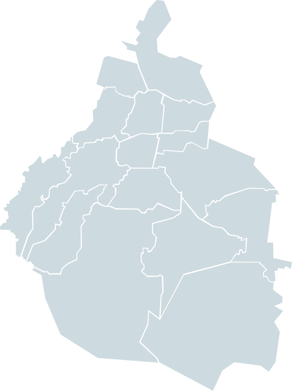
| Tuairisc | Map of the Mexican Federal District in lightblue |
| Dáta | |
| Foinse | Own work based on: Mexico map, MX-DFE.svg by El bart089 |
| Údar | EOZyo |
| SVG genesis |
Ceadúnú
| I, the copyright holder of this work, release this work into the public domain. This applies worldwide. In some countries this may not be legally possible; if so: I grant anyone the right to use this work for any purpose, without any conditions, unless such conditions are required by law. |
Stair chomhaid
Cliceáil ar dáta/am chun an comhad a radharc mar a bhí sé ag an am sin.
| Dáta/Am | Mionsamhail | Toisí | Úsáideoir | Nóta tráchta | |
|---|---|---|---|---|---|
| faoi láthair | 18:49, 20 Samhain 2007 | | 536 × 717 (20 KB) | El bart089 | {{Information |Description=Map of the Mexican Federal District in lightblue |Source=self-made |Date=November 20, 2007 |Author= El bart089 |Permission= |other_versions= }} |
Úsáid comhaid
Níl nasc ó aon leathanach eile don íomhá seo.
Global file usage
The following other wikis use this file:
- Úsáid ar en.wikipedia.org