
Íomhá:Map of South Carolina highlighting Georgetown County.svg

Size of this PNG preview of this SVG file: 752 × 599 picteilín. Other resolutions: 301 × 240 picteilín | 602 × 480 picteilín | 964 × 768 picteilín | 1,280 × 1,020 picteilín | 2,560 × 2,040 picteilín | 4,419 × 3,522 picteilín.
Taispeáin leagan ardtaifigh den íomhá (Comhad SVG, ainmniúil 4,419 × 3,522 picteilíni, méid comhaid: 103 KB)
| Seo comhad as An Cómhaoin Viciméid. Tá an tuairisc as an leathanach tuairisc Cómhaoin a leanas thíos.
|
Achoimriú
| Tuairisc |
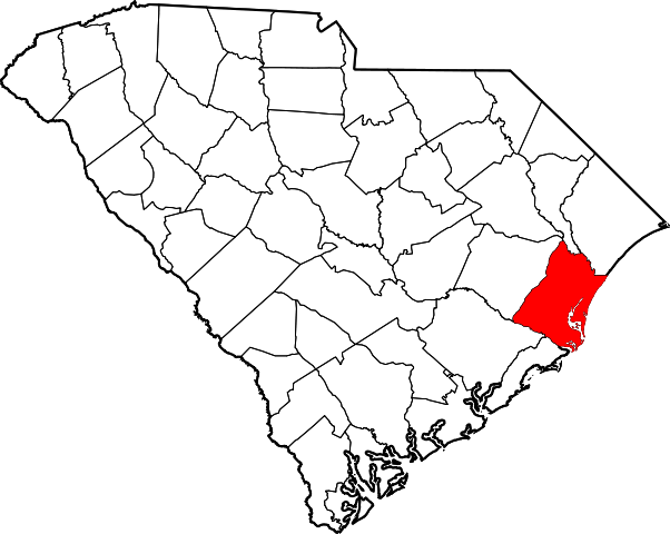
Locator map of Georgetown County — in South Carolina.
|
| Dáta | 12 Feabhra 2006 (original upload date) |
| Foinse | No machine-readable source provided. Own work assumed (based on copyright claims). |
| Údar | No machine-readable author provided. David Benbennick assumed (based on copyright claims). |
Ceadúnú
| I, the copyright holder of this work, release this work into the public domain. This applies worldwide. In some countries this may not be legally possible; if so: I grant anyone the right to use this work for any purpose, without any conditions, unless such conditions are required by law. |
Stair chomhaid
Cliceáil ar dáta/am chun an comhad a radharc mar a bhí sé ag an am sin.
| Dáta/Am | Mionsamhail | Toisí | Úsáideoir | Nóta tráchta | |
|---|---|---|---|---|---|
| faoi láthair | 16:25, 12 Feabhra 2006 | | 4,419 × 3,522 (103 KB) | David Benbennick | {{subst:User:Dbenbenn/clm|county=Georgetown County|state=South Carolina|type=county}} |
Úsáid comhaid
Tá nasc chuig an gcomhad seo ar na leathanaigh seo a leanas:
Global file usage
The following other wikis use this file:
- Úsáid ar ar.wikipedia.org
- Úsáid ar bg.wikipedia.org
- Úsáid ar bpy.wikipedia.org
- Úsáid ar cdo.wikipedia.org
- Úsáid ar ceb.wikipedia.org
- Úsáid ar ce.wikipedia.org
- Úsáid ar cy.wikipedia.org
- Úsáid ar de.wikipedia.org
- Úsáid ar en.wikipedia.org
- List of counties in South Carolina
- Georgetown County, South Carolina
- Georgetown, South Carolina
- Murrells Inlet, South Carolina
- Pawleys Island, South Carolina
- Garden City, South Carolina
- Andrews, South Carolina
- Sandy Island, South Carolina
- Myrtle Beach metropolitan area
- Template:Georgetown County, South Carolina
- User:Nyttend/County templates/SC
- North Santee, Georgetown County, South Carolina
- Plantersville, South Carolina
- DeBordieu Colony, South Carolina
- National Register of Historic Places listings in Georgetown County, South Carolina
- Hopewell, Williamsburg County, South Carolina
- Litchfield Beach, South Carolina
- Category:Populated places in Georgetown County, South Carolina
- Spring Gully, South Carolina
- Dunbar, Georgetown County, South Carolina
- Choppee, South Carolina
- Úsáid ar eo.wikipedia.org
- Úsáid ar es.wikipedia.org
- Úsáid ar eu.wikipedia.org
- Úsáid ar fa.wikipedia.org
View more global usage of this file.