
Íomhá:Map of Northern England.png

Size of this preview: 800 × 584 picteilín. Other resolutions: 320 × 234 picteilín | 640 × 467 picteilín | 1,024 × 748 picteilín | 1,280 × 935 picteilín | 1,479 × 1,080 picteilín.
Taispeáin leagan ardtaifigh den íomhá (1,479 × 1,080 picteilín, méid comhaid: 301 KB, cineál MIME: image/png)
| Seo comhad as An Cómhaoin Viciméid. Tá an tuairisc as an leathanach tuairisc Cómhaoin a leanas thíos.
|
Achoimriú
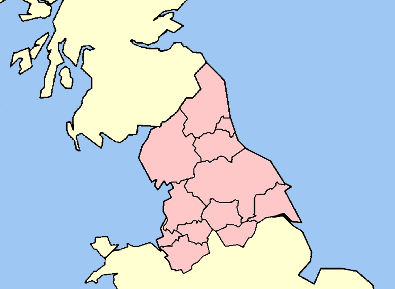
| Tuairisc | Map of Northern England within Great Britain. |
| Dáta | |
| Foinse | Obair féin |
| Údar | self-created |
Ceadúnú
This file is licensed under the Creative Commons Attribution-Share Alike 3.0 Unported license.
- Is féidir:
- an saothar seo a roinnt – an saothar seo a chóipeáil, a dháil amach, agus a tharchur
- an saothar seo a athmheascadh – an saothar seo a oiriúnú
- Ach amháin má leantar na coinníollacha seo a leanas:
- sannadh – Ní mor creidiúint a thabhairt leis an saothar, faoi mar a shonraigh an údar nó tabharthóir an ceadúnais (ach ná húsáid modh a thugann le fios go thacaíonn sé/sí tú féin nó an úsáid a bhaineann tú as an saothar).
- comhroinn araon – Má athraíonn tú nó síneann tú amach an saothar seo, ní féidir é a dháileadh ach amhaín faoin gceadúnas céanna nó ceann cosúil leis an gceann seo.
Stair chomhaid
Cliceáil ar dáta/am chun an comhad a radharc mar a bhí sé ag an am sin.
| Dáta/Am | Mionsamhail | Toisí | Úsáideoir | Nóta tráchta | |
|---|---|---|---|---|---|
| faoi láthair | 17:28, 23 Feabhra 2009 | | 1,479 × 1,080 (301 KB) | Thomas Gun | == Summary == {{Information |Description=Map of Northern England within Great Britain. |Source=self-created |Date=2009 |Author=self-created |Permission=see below |other_versions= }} <!--{{ImageUpload|basic}}--> == Licensing: == |
Úsáid comhaid
Níl nasc ó aon leathanach eile don íomhá seo.
Global file usage
The following other wikis use this file:
- Úsáid ar af.wikipedia.org
- Úsáid ar en.wikipedia.org
- Úsáid ar es.wikipedia.org
- Úsáid ar is.wikipedia.org
- Úsáid ar it.wikipedia.org
- Úsáid ar ja.wikipedia.org
- Úsáid ar lt.wikipedia.org
- Úsáid ar ms.wikipedia.org
- Úsáid ar nl.wikipedia.org
- Úsáid ar nn.wikipedia.org
- Úsáid ar pt.wikipedia.org
- Úsáid ar ru.wikipedia.org
- Úsáid ar sh.wikipedia.org
- Úsáid ar tr.wikipedia.org
- Úsáid ar uk.wikipedia.org