
Íomhá:Map of Nevada highlighting Douglas County.svg

Size of this PNG preview of this SVG file: 405 × 599 picteilín. Other resolutions: 162 × 240 picteilín | 324 × 480 picteilín | 519 × 768 picteilín | 692 × 1,024 picteilín | 1,385 × 2,048 picteilín | 5,257 × 7,775 picteilín.
Taispeáin leagan ardtaifigh den íomhá (Comhad SVG, ainmniúil 5,257 × 7,775 picteilíni, méid comhaid: 33 KB)
| Seo comhad as An Cómhaoin Viciméid. Tá an tuairisc as an leathanach tuairisc Cómhaoin a leanas thíos.
|
Achoimriú
| Tuairisc |
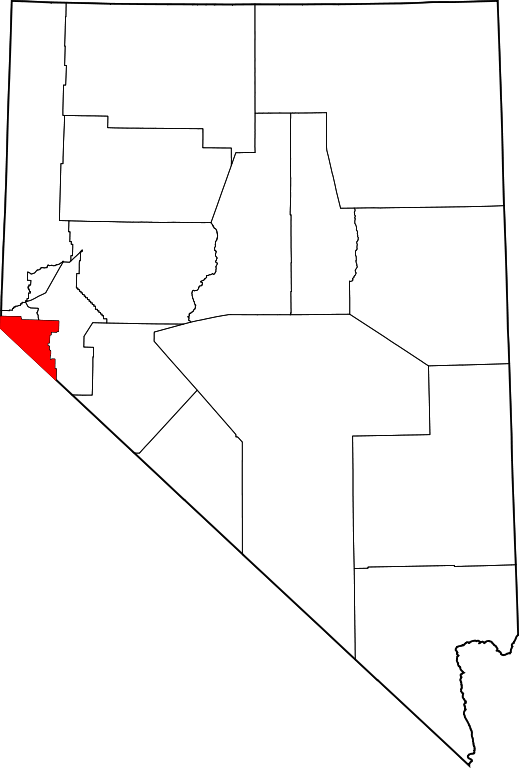
English: This is a locator map showing Douglas County in Nevada. For more information, see Commons:United States county locator maps. |
| Dáta | |
| Foinse |
Obair féin: English: The maps use data from nationalatlas.gov, specifically countyp020.tar.gz on the Raw Data Download page. The maps also use state outline data from statesp020.tar.gz. The Florida maps use hydrogm020.tar.gz to display Lake Okeechobee. |
| Údar | David Benbennick |
Ceadúnú
| I, the copyright holder of this work, release this work into the public domain. This applies worldwide. In some countries this may not be legally possible; if so: I grant anyone the right to use this work for any purpose, without any conditions, unless such conditions are required by law. |
Stair chomhaid
Cliceáil ar dáta/am chun an comhad a radharc mar a bhí sé ag an am sin.
| Dáta/Am | Mionsamhail | Toisí | Úsáideoir | Nóta tráchta | |
|---|---|---|---|---|---|
| faoi láthair | 15:00, 12 Feabhra 2006 | | 5,257 × 7,775 (33 KB) | David Benbennick | {{subst:User:Dbenbenn/clm|county=Douglas County|state=Nevada|type=county}} |
Úsáid comhaid
Tá nasc chuig an gcomhad seo ar na leathanaigh seo a leanas:
Global file usage
The following other wikis use this file:
- Úsáid ar ar.wikipedia.org
- Úsáid ar bg.wikipedia.org
- Úsáid ar bpy.wikipedia.org
- Úsáid ar cdo.wikipedia.org
- Úsáid ar ceb.wikipedia.org
- Úsáid ar ce.wikipedia.org
- Úsáid ar cs.wikipedia.org
- Úsáid ar cy.wikipedia.org
- Úsáid ar de.wikipedia.org
- Úsáid ar en.wikipedia.org
- List of counties in Nevada
- Douglas County, Nevada
- Gardnerville, Nevada
- Gardnerville Ranchos, Nevada
- Indian Hills, Nevada
- Johnson Lane, Nevada
- Kingsbury, Nevada
- Minden, Nevada
- Stateline, Nevada
- Zephyr Cove–Round Hill Village, Nevada
- Zephyr Cove, Nevada
- Genoa, Nevada
- Glenbrook, Nevada
- Template:Douglas County, Nevada
- Topaz Lake, Nevada
- User:Nyttend/County templates/NV
- National Register of Historic Places listings in Douglas County, Nevada
- Category:Populated places in Douglas County, Nevada
- Sheridan, Nevada
- Mottsville, Nevada
- Carter Springs, Nevada
- Double Spring, Nevada
- East Valley, Nevada
View more global usage of this file.