
Íomhá:Map of Hawaii highlighting Hawaii (island).svg

Size of this PNG preview of this SVG file: 800 × 538 picteilín. Other resolutions: 320 × 215 picteilín | 640 × 431 picteilín | 1,024 × 689 picteilín | 1,280 × 862 picteilín | 2,560 × 1,723 picteilín | 6,063 × 4,081 picteilín.
Taispeáin leagan ardtaifigh den íomhá (Comhad SVG, ainmniúil 6,063 × 4,081 picteilíni, méid comhaid: 12 KB)
| Seo comhad as An Cómhaoin Viciméid. Tá an tuairisc as an leathanach tuairisc Cómhaoin a leanas thíos.
|
.svg)
Achoimriú
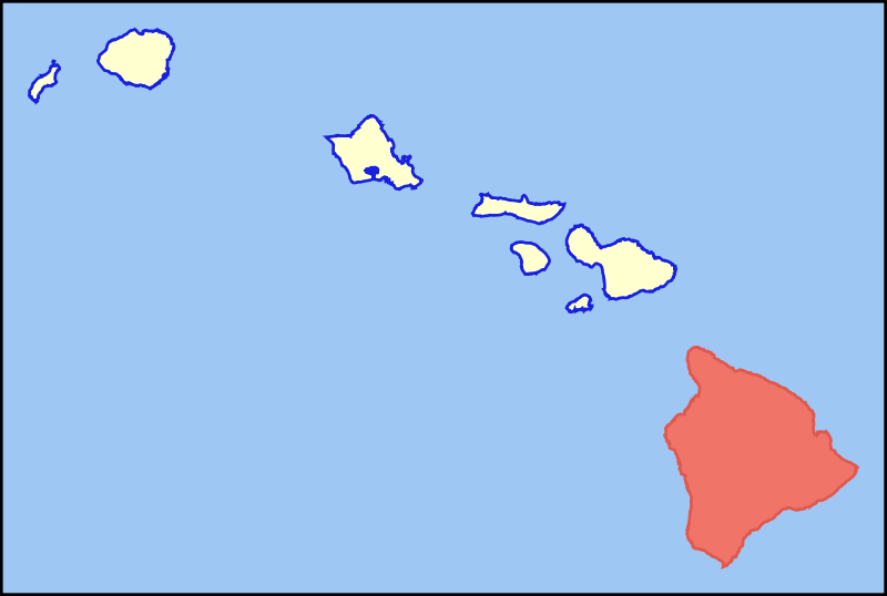
| Tuairisc | Colored locator map for the island of Hawaii |
| Dáta | |
| Foinse | Based on the SVG file that was released to the public domain by David Benbennick at Wikipedia: Image:Map_of_Hawaii_highlighting_Kalawao_County.svg |
| Údar | MattWright |
Ceadúnú
| This work has been released into the public domain by its author, I, MattWright. This applies worldwide. In some countries this may not be legally possible; if so: I, MattWright grants anyone the right to use this work for any purpose, without any conditions, unless such conditions are required by law. |
Stair chomhaid
Cliceáil ar dáta/am chun an comhad a radharc mar a bhí sé ag an am sin.
| Dáta/Am | Mionsamhail | Toisí | Úsáideoir | Nóta tráchta | |
|---|---|---|---|---|---|
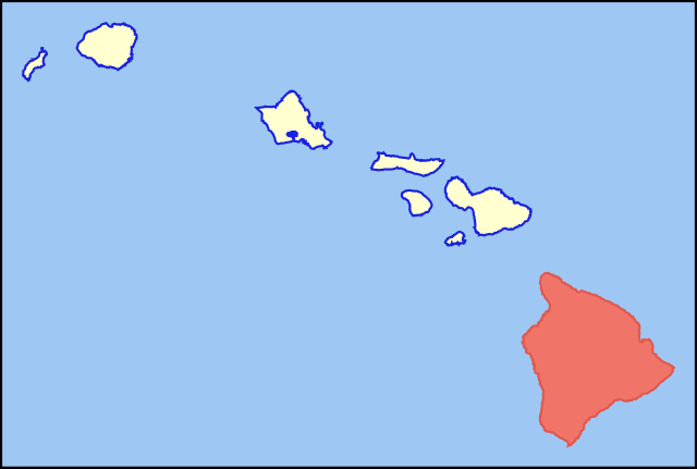
| faoi láthair | 08:33, 30 Iúil 2007 | | 6,063 × 4,081 (12 KB) | MattWright | == Summary == {{Information |Description=Colored locator map for the island of Kauai |Source=Based on the SVG file that was released to the public domain by [http://commons.wikimedia.org/wiki/User:Dbenbenn David Benbennick] at [http://en.wikipedia.org/wik |
Úsáid comhaid
Tá nasc chuig an gcomhad seo ar na leathanaigh seo a leanas:
Global file usage
The following other wikis use this file:
- Úsáid ar af.wikipedia.org
- Úsáid ar als.wikipedia.org
- Úsáid ar ar.wikipedia.org
- Úsáid ar az.wiktionary.org
- Úsáid ar bg.wikipedia.org
- Úsáid ar br.wikipedia.org
- Úsáid ar ca.wikipedia.org
- Úsáid ar de.wikipedia.org
- Úsáid ar de.wikivoyage.org
- Úsáid ar el.wikipedia.org
- Úsáid ar en.wikipedia.org
- Úsáid ar eo.wikipedia.org
- Úsáid ar es.wikipedia.org
- Úsáid ar fr.wiktionary.org
- Úsáid ar fy.wikipedia.org
- Úsáid ar haw.wikipedia.org
- Úsáid ar hi.wikipedia.org
- Úsáid ar hu.wikipedia.org
- Úsáid ar ia.wikipedia.org
- Úsáid ar id.wikipedia.org
- Úsáid ar is.wikipedia.org
- Úsáid ar it.wikivoyage.org
- Úsáid ar ja.wikipedia.org
- Úsáid ar lt.wikipedia.org
- Úsáid ar ms.wikipedia.org
- Úsáid ar pt.wikipedia.org
- Úsáid ar ro.wikipedia.org
- Úsáid ar sk.wikipedia.org
- Úsáid ar sv.wikipedia.org
- Úsáid ar tg.wikipedia.org
- Úsáid ar th.wikipedia.org
- Úsáid ar ur.wikipedia.org
- Úsáid ar vi.wikipedia.org
View more global usage of this file.
.svg)
.svg)