
Íomhá:Map of Alabama highlighting Marengo County.svg

Size of this PNG preview of this SVG file: 379 × 600 picteilín. Other resolutions: 152 × 240 picteilín | 303 × 480 picteilín | 485 × 768 picteilín | 647 × 1,024 picteilín | 1,294 × 2,048 picteilín | 3,379 × 5,346 picteilín.
Taispeáin leagan ardtaifigh den íomhá (Comhad SVG, ainmniúil 3,379 × 5,346 picteilíni, méid comhaid: 94 KB)
| Seo comhad as An Cómhaoin Viciméid. Tá an tuairisc as an leathanach tuairisc Cómhaoin a leanas thíos.
|
Achoimriú
| Tuairisc |
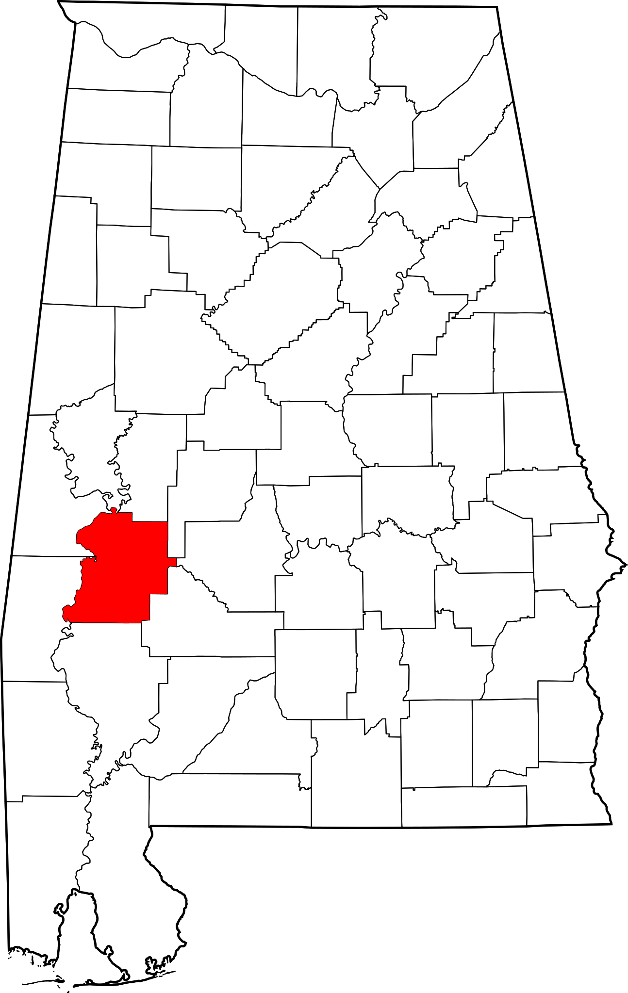
English: This is a locator map showing Marengo County in Alabama. For more information, see Commons:United States county locator maps. |
| Dáta | |
| Foinse |
Obair féin: English: The maps use data from nationalatlas.gov, specifically countyp020.tar.gz on the Raw Data Download page. The maps also use state outline data from statesp020.tar.gz. The Florida maps use hydrogm020.tar.gz to display Lake Okeechobee. |
| Údar | David Benbennick |
Ceadúnú
| I, the copyright holder of this work, release this work into the public domain. This applies worldwide. In some countries this may not be legally possible; if so: I grant anyone the right to use this work for any purpose, without any conditions, unless such conditions are required by law. |
Stair chomhaid
Cliceáil ar dáta/am chun an comhad a radharc mar a bhí sé ag an am sin.
| Dáta/Am | Mionsamhail | Toisí | Úsáideoir | Nóta tráchta | |
|---|---|---|---|---|---|
| faoi láthair | 09:52, 12 Feabhra 2006 | | 3,379 × 5,346 (94 KB) | David Benbennick | {{subst:User:Dbenbenn/clm|county=Marengo County|state=Alabama}} |
Úsáid comhaid
Tá nasc chuig an gcomhad seo ar na leathanaigh seo a leanas:
Global file usage
The following other wikis use this file:
- Úsáid ar ar.wikipedia.org
- Úsáid ar arz.wikipedia.org
- Úsáid ar az.wikipedia.org
- Úsáid ar bg.wikipedia.org
- Úsáid ar bpy.wikipedia.org
- Úsáid ar ca.wikipedia.org
- Úsáid ar cdo.wikipedia.org
- Úsáid ar ceb.wikipedia.org
- Úsáid ar ce.wikipedia.org
- Úsáid ar cy.wikipedia.org
- Úsáid ar de.wikipedia.org
- Úsáid ar en.wikipedia.org
- List of counties in Alabama
- Marengo County, Alabama
- Dayton, Alabama
- Demopolis, Alabama
- Faunsdale, Alabama
- Linden, Alabama
- Myrtlewood, Alabama
- Providence, Alabama
- Sweet Water, Alabama
- Thomaston, Alabama
- National Register of Historic Places listings in Marengo County, Alabama
- Bluff Hall
- Gaineswood
- Template:Marengo County, Alabama
- Old Marengo County Courthouse
- Glover Mausoleum
- Dixons Mills, Alabama
- Jefferson, Alabama
- Magnolia, Alabama
- Nanafalia, Alabama
- Cedar Grove Plantation
- Jefferson Historic District (Jefferson, Alabama)
- Lyon Hall (Demopolis, Alabama)
- Demopolis Historic Business District
- Demopolis Town Square
- Thomaston Central Historic District
- Faunsdale Plantation
View more global usage of this file.