
Íomhá:Kashmir region 2004.jpg

Size of this preview: 604 × 599 picteilín. Other resolutions: 242 × 240 picteilín | 484 × 480 picteilín | 774 × 768 picteilín | 1,032 × 1,024 picteilín | 1,579 × 1,567 picteilín.
Taispeáin leagan ardtaifigh den íomhá (1,579 × 1,567 picteilín, méid comhaid: 1.71 MB, cineál MIME: image/jpeg)
| Seo comhad as An Cómhaoin Viciméid. Tá an tuairisc as an leathanach tuairisc Cómhaoin a leanas thíos.
|
| Tuairisc |
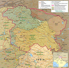
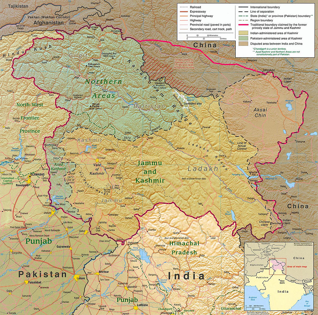
English: Kashmir Region 2004 |
|||
| Dáta | ||||
| Foinse | http://www.lib.utexas.edu/maps/middle_east_and_asia/kashmir_region_2004.jpg | |||
| Údar | CIA | |||
| Ceadúnas (Athúsáid a bhaint as an gcomhad seo) |
|
|||
| Leaganacha eile |
 .jpg)
|


Stair chomhaid
Cliceáil ar dáta/am chun an comhad a radharc mar a bhí sé ag an am sin.
| Dáta/Am | Mionsamhail | Toisí | Úsáideoir | Nóta tráchta | |
|---|---|---|---|---|---|
| faoi láthair | 21:45, 6 Meitheamh 2010 | | 1,579 × 1,567 (1.71 MB) | Ras67 | slightly rotated and cropped |
| 18:46, 7 Márta 2006 |  | 1,616 × 1,623 (789 KB) | Jungpionier | Kashmir Region 2004 Source URL: [http://www.lib.utexas.edu/maps/middle_east_and_asia/kashmir_region_2004.jpg]. {{PD-USGov-CIA}} |
Úsáid comhaid
Níl nasc ó aon leathanach eile don íomhá seo.
Global file usage
The following other wikis use this file:
- Úsáid ar af.wikipedia.org
- Úsáid ar ang.wikipedia.org
- Úsáid ar ar.wikipedia.org
- Úsáid ar arz.wikipedia.org
- Úsáid ar azb.wikipedia.org
- Úsáid ar az.wikipedia.org
- Úsáid ar be-tarask.wikipedia.org
- Úsáid ar be.wikipedia.org
- Úsáid ar bg.wikipedia.org
- Úsáid ar bh.wikipedia.org
- Úsáid ar bn.wikipedia.org
- Úsáid ar br.wikipedia.org
- Úsáid ar ca.wikipedia.org
- Úsáid ar cdo.wikipedia.org
- Úsáid ar ckb.wikipedia.org
- Úsáid ar cs.wikipedia.org
- Úsáid ar da.wikipedia.org
- Úsáid ar de.wikipedia.org
- Úsáid ar de.wikinews.org
- Úsáid ar diq.wikipedia.org
- Úsáid ar el.wikipedia.org
- Úsáid ar en.wikipedia.org
View more global usage of this file.