
Íomhá:Hyde Park London from 1833 Schmollinger map.jpg
Taispeáin leagan ardtaifigh den íomhá (1,796 × 1,240 picteilín, méid comhaid: 956 KB, cineál MIME: image/jpeg)
| Seo comhad as An Cómhaoin Viciméid. Tá an tuairisc as an leathanach tuairisc Cómhaoin a leanas thíos.
|
Achoimriú
| Cur síos |
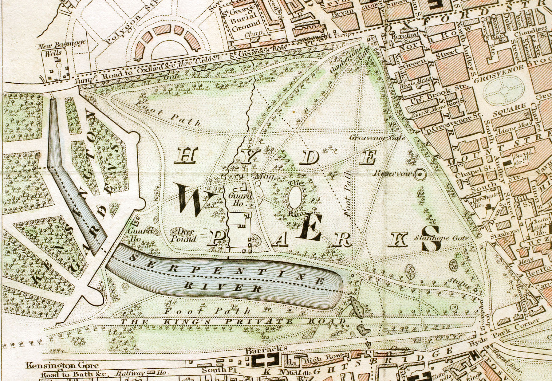
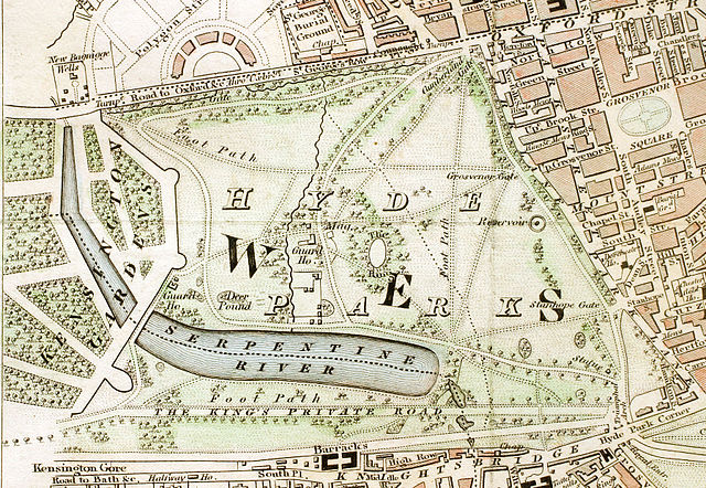
English: Hyde Park section of "Improved map of London for 1833, from Actual Survey. Engraved by W. Schmollinger, 27 Goswell Terrace", photographed for Wikipedia by User:Pointillist. All rights of the photographer are hereby released. |
| Dáta | |
| Foinse | http://en.wikipedia.org/wiki/Image:Hyde_Park_London_from_1833_Schmollinger_map.jpg |
| Cruthaitheoir | |
| Ceadúnas (Athúsáid a bhaint as an gcomhad seo) |
original text: {{PD-art}} |
| Georeferencing |
Ceadúnú
|
This work is in the public domain in its country of origin and other countries and areas where the copyright term is the author's life plus 70 years or fewer.
| |
| This file has been identified as being free of known restrictions under copyright law, including all related and neighboring rights. | |
Stair chomhaid
Cliceáil ar dáta/am chun an comhad a radharc mar a bhí sé ag an am sin.
| Dáta/Am | Mionsamhail | Toisí | Úsáideoir | Nóta tráchta | |
|---|---|---|---|---|---|
| faoi láthair | 14:56, 15 Iúil 2008 | | 1,796 × 1,240 (956 KB) | Ksanyi | {{Information |Description={{en|1=Hyde Park section of "Improved map of London for 1833, from Actual Survey. Engraved by W. Schmollinger, 27 Goswell Terrace", photographed for Wikipedia by User:Pointillist. All rights of the photographer are hereby re |
Úsáid comhaid
Níl nasc ó aon leathanach eile don íomhá seo.
Global file usage
The following other wikis use this file:
- Úsáid ar ca.wikipedia.org
- Úsáid ar de.wikipedia.org
- Úsáid ar en.wikipedia.org
- Úsáid ar es.wikipedia.org
- Úsáid ar et.wikipedia.org
- Úsáid ar eu.wikipedia.org
- Úsáid ar fa.wikipedia.org
- Úsáid ar fr.wikipedia.org
- Úsáid ar hu.wikipedia.org
- Úsáid ar ms.wikipedia.org
- Úsáid ar ru.wikipedia.org
- Úsáid ar sl.wikipedia.org
- Úsáid ar tr.wikipedia.org
- Úsáid ar www.wikidata.org
- Úsáid ar zh.wikipedia.org