
Íomhá:East Dunbartonshire council.PNG

Size of this preview: 480 × 599 picteilín. Other resolutions: 192 × 240 picteilín | 384 × 480 picteilín | 615 × 768 picteilín | 820 × 1,024 picteilín | 1,641 × 2,048 picteilín | 2,733 × 3,411 picteilín.
Taispeáin leagan ardtaifigh den íomhá (2,733 × 3,411 picteilín, méid comhaid: 207 KB, cineál MIME: image/png)
| Seo comhad as An Cómhaoin Viciméid. Tá an tuairisc as an leathanach tuairisc Cómhaoin a leanas thíos.
|
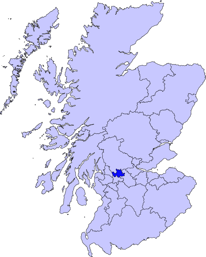
| Tuairisc | map of East Dunbartonshire | ||||||||
| Dáta | |||||||||
| Foinse |
Is mise Barryob, sealbhóir cóipchirt an shaothair seo, agus foilsím é faoi na ceadúnais seo a leanas:
|
||||||||
| Údar | User:Barryob |

Stair chomhaid
Cliceáil ar dáta/am chun an comhad a radharc mar a bhí sé ag an am sin.
| Dáta/Am | Mionsamhail | Toisí | Úsáideoir | Nóta tráchta | |
|---|---|---|---|---|---|
| faoi láthair | 05:06, 10 Aibreán 2007 | | 2,733 × 3,411 (207 KB) | Barryob | |
| 21:57, 8 Aibreán 2007 |  | 2,733 × 3,411 (208 KB) | Barryob | ||
| 01:20, 4 Aibreán 2007 |  | 2,733 × 3,411 (208 KB) | Barryob | {{Information |Description=map of East Dunbartonshire |Source={{GFDL-user|Barryob}} |Date=2006-04-04 |Author=User:Barryob |Permission= |other_versions= }} Category:Maps of unitary councils of Scotland |
Úsáid comhaid
Tá nasc chuig an gcomhad seo ar na leathanaigh seo a leanas:
Global file usage
The following other wikis use this file:
- Úsáid ar ar.wikipedia.org
- Úsáid ar ca.wikipedia.org
- Úsáid ar cy.wikipedia.org
- Úsáid ar de.wikipedia.org
- Úsáid ar en.wikipedia.org
- Úsáid ar eu.wikipedia.org
- Lankide:Euskaldunaa
- Kirkintilloch
- Bearsden
- Bishopbriggs
- Txantiloi:Ekialdeko Dunbartonshire
- Wikiproiektu:Irlanda, Gales eta Eskoziako udalerriak
- Lennoxtown
- Lenzie
- Milngavie
- Auchenreoch
- Baldernock
- Balmore
- Clachan of Campsie
- Haughhead
- Huntershill Village
- Milton of Campsie
- Torrance (Eakialdeko Dunbartonshire)
- Twechar
- Woodilee Village
- Bardowie
- Barnellan
- Birdston
- Auchinairn
- Cadder
- Waterside (Ekialdeko Dunbartonshire)
- Úsáid ar nn.wikipedia.org
- Úsáid ar pt.wikipedia.org
- Úsáid ar www.wikidata.org
- Úsáid ar zh-min-nan.wikipedia.org
- Úsáid ar zh.wikipedia.org