
Íomhá:Cornwall - British Isles.svg

Size of this PNG preview of this SVG file: 411 × 599 picteilín. Other resolutions: 165 × 240 picteilín | 329 × 480 picteilín | 527 × 768 picteilín | 703 × 1,024 picteilín | 1,406 × 2,048 picteilín | 1,260 × 1,835 picteilín.
Taispeáin leagan ardtaifigh den íomhá (Comhad SVG, ainmniúil 1,260 × 1,835 picteilíni, méid comhaid: 943 KB)
| Seo comhad as An Cómhaoin Viciméid. Tá an tuairisc as an leathanach tuairisc Cómhaoin a leanas thíos.
|
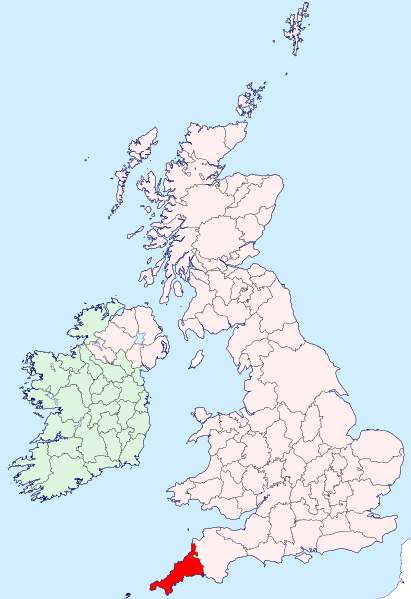
| Tuairisc | Cornwall location map | ||
| Dáta | |||
| Foinse | British Isles in counties.svg | ||
| Údar | User:Visitor from Wikishire | ||
| Ceadúnas (Athúsáid a bhaint as an gcomhad seo) |
|
Stair chomhaid
Cliceáil ar dáta/am chun an comhad a radharc mar a bhí sé ag an am sin.
| Dáta/Am | Mionsamhail | Toisí | Úsáideoir | Nóta tráchta | |
|---|---|---|---|---|---|
| faoi láthair | 19:37, 12 Meán Fómhair 2019 | | 1,260 × 1,835 (943 KB) | Hogweard | Colours |
| 22:44, 11 Eanáir 2015 |  | 1,250 × 1,835 (933 KB) | Visitor from Wikishire | {{Information |Description=Cornwall location map |Source=British Isles in counties.svg |Date=2014-01-11 |Author=User:Visitor from Wikishire |Permission={{PD-self}} |other_versions= }} [[Category:Maps of histo... |
Úsáid comhaid
Tá nasc chuig an gcomhad seo ar na leathanaigh seo a leanas:
Global file usage
The following other wikis use this file:
- Úsáid ar ar.wikipedia.org
- Úsáid ar ast.wikipedia.org
- Úsáid ar be-tarask.wikipedia.org
- Úsáid ar ca.wikipedia.org
- Úsáid ar el.wikipedia.org
- Úsáid ar gl.wikipedia.org
- Úsáid ar ia.wikipedia.org
- Úsáid ar ku.wikipedia.org
- Úsáid ar nl.wikipedia.org
- Úsáid ar oc.wikipedia.org
- Úsáid ar sr.wikipedia.org
- Úsáid ar tg.wikipedia.org
- Úsáid ar www.wikidata.org