
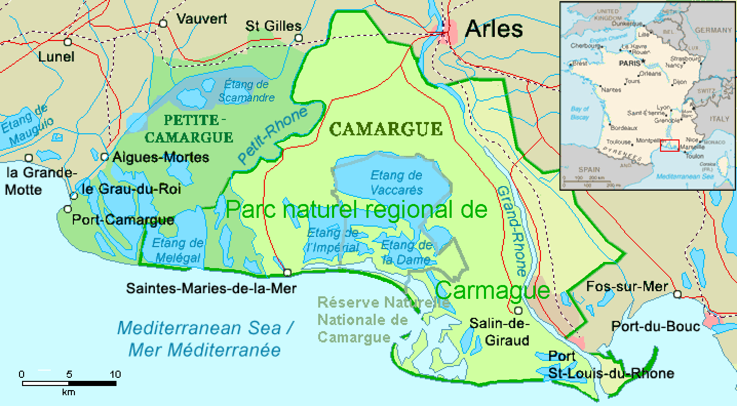
Íomhá:Camargue, Petite Camargue et Parc naturel reg.png
Size of this preview: 800 × 441 picteilín. Other resolutions: 320 × 176 picteilín | 640 × 353 picteilín | 1,024 × 565 picteilín | 1,436 × 792 picteilín.
Taispeáin leagan ardtaifigh den íomhá (1,436 × 792 picteilín, méid comhaid: 63 KB, cineál MIME: image/png)
| Seo comhad as An Cómhaoin Viciméid. Tá an tuairisc as an leathanach tuairisc Cómhaoin a leanas thíos.
|
| Tuairisc | ||||
| Dáta | revision 2016-11-21 | |||
| Foinse | Combination of CIA World Factbook map (Image:Fr-map.png) and Demis Map Server (http://www2.demis.nl/mapserver/mapper.asp) data with additional annotations and modifications by self. | |||
| Údar | ChrisO, revision by Ulamm (plé) | |||
| Leaganacha eile |
File:Camargue map.png (source)
|

Stair chomhaid
Cliceáil ar dáta/am chun an comhad a radharc mar a bhí sé ag an am sin.
| Dáta/Am | Mionsamhail | Toisí | Úsáideoir | Nóta tráchta | |
|---|---|---|---|---|---|
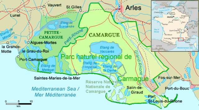
| faoi láthair | 01:22, 1 Nollaig 2016 | | 1,436 × 792 (63 KB) | Ulamm | name "Grand-Rhône" and the lower courses of Vostre & Vidourle rivers |
| 22:43, 21 Samhain 2016 |  | 1,436 × 792 (63 KB) | Ulamm | {{Information |Description= {{en|Map of the Camargue region, southern France}} |Source=Combination of CIA World Factbook map (Image:Fr-map.png) and Demis Map Server (http://www2.demis.nl/mapserver/mapper.asp) data with additional annotatio... |
Úsáid comhaid
Tá nasc chuig an gcomhad seo ar na leathanaigh seo a leanas:
Global file usage
The following other wikis use this file:
- Úsáid ar ca.wikipedia.org
- Úsáid ar de.wikipedia.org
- Úsáid ar eo.wikipedia.org
- Úsáid ar es.wikipedia.org
- Úsáid ar eu.wikipedia.org
- Úsáid ar fr.wikipedia.org
- Úsáid ar it.wikipedia.org
- Úsáid ar simple.wikipedia.org
- Úsáid ar uk.wikipedia.org
- Úsáid ar vec.wikipedia.org
- Úsáid ar www.wikidata.org