
Íomhá:Baton Rouge Louisiana waterfront aerial view.jpg
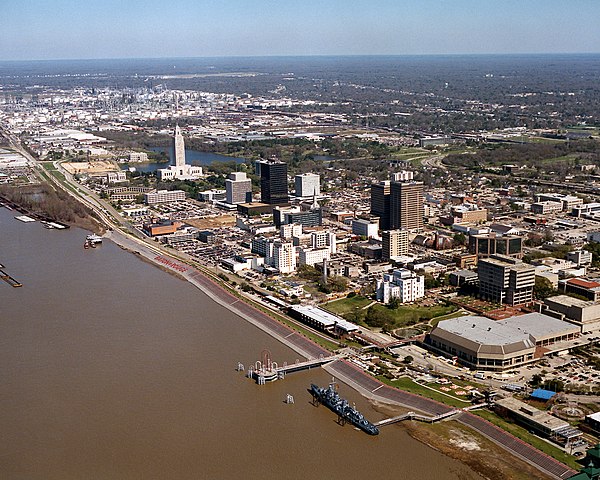
Size of this preview: 750 × 600 picteilín. Other resolutions: 300 × 240 picteilín | 600 × 480 picteilín | 960 × 768 picteilín | 1,280 × 1,024 picteilín | 1,500 × 1,200 picteilín.
Taispeáin leagan ardtaifigh den íomhá (1,500 × 1,200 picteilín, méid comhaid: 1.04 MB, cineál MIME: image/jpeg)
| Seo comhad as An Cómhaoin Viciméid. Tá an tuairisc as an leathanach tuairisc Cómhaoin a leanas thíos.
|
| Tuairisc |
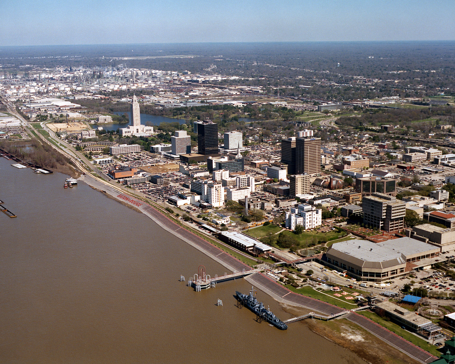
English: Aerial view of the riverfront area of Baton Rouge, Louisiana, USA. The city fronts on the Mississippi River in the center of Louisiana. The tall state capitol tower can be seen at center left. The historic destroyer USS Kidd is moored in the river at the bottom of the picture. View is to the north-northeast. |
|||
| Dáta | ||||
| Foinse |
U.S. Army Corps of Engineers Digital Visual Library Image page Image description page Digital Visual Library home page |
|||
| Údar | Michael Maples, U.S. Army Corps of Engineers | |||
| Ceadúnas (Athúsáid a bhaint as an gcomhad seo) |
|
|||
| Suíomh | Baton Rouge, Louisiana, USA |
| Camera location | | View this and other nearby images on: OpenStreetMap |
|---|
Stair chomhaid
Cliceáil ar dáta/am chun an comhad a radharc mar a bhí sé ag an am sin.
| Dáta/Am | Mionsamhail | Toisí | Úsáideoir | Nóta tráchta | |
|---|---|---|---|---|---|
| faoi láthair | 03:05, 6 Aibreán 2007 | | 1,500 × 1,200 (1.04 MB) | DanMS | {{Information | Description = {{en|Aerial view of the riverfront area of Baton Rouge, Louisiana, USA. The ctiy fronts on the Mississippi River in the center of Louisiana. The tall state capital tower can be seen at center left. The historic destroyer U |
Úsáid comhaid
Tá nasc chuig an gcomhad seo ar na leathanaigh seo a leanas:
Global file usage
The following other wikis use this file:
- Úsáid ar af.wikipedia.org
- Úsáid ar an.wikipedia.org
- Úsáid ar ar.wikipedia.org
- Úsáid ar arz.wikipedia.org
- Úsáid ar ast.wikipedia.org
- Úsáid ar az.wikipedia.org
- Úsáid ar bat-smg.wikipedia.org
- Úsáid ar be-tarask.wikipedia.org
- Úsáid ar be.wikipedia.org
- Úsáid ar bg.wikipedia.org
- Úsáid ar br.wikipedia.org
- Úsáid ar ca.wikipedia.org
- Úsáid ar ceb.wikipedia.org
- Úsáid ar ce.wikipedia.org
- Úsáid ar cy.wikipedia.org
- Úsáid ar dag.wikipedia.org
- Úsáid ar da.wikipedia.org
- Úsáid ar de.wikipedia.org
- Úsáid ar de.wikivoyage.org
- Úsáid ar diq.wikipedia.org
- Úsáid ar el.wikipedia.org
- Úsáid ar en.wikipedia.org
- Úsáid ar en.wikinews.org
- Úsáid ar en.wikivoyage.org
- Úsáid ar en.wiktionary.org
- Úsáid ar es.wikipedia.org
- Úsáid ar et.wikipedia.org
- Úsáid ar eu.wikipedia.org
- Úsáid ar fi.wikipedia.org
- Úsáid ar fr.wikipedia.org
- Úsáid ar fr.wikivoyage.org
- Úsáid ar fy.wikipedia.org
- Úsáid ar gl.wikipedia.org
- Úsáid ar he.wikipedia.org
- Úsáid ar he.wikivoyage.org
- Úsáid ar hsb.wikipedia.org
- Úsáid ar ht.wikipedia.org
- Úsáid ar hu.wikipedia.org
View more global usage of this file.