
Íomhá:Sutherland UK location map.svg

Size of this PNG preview of this SVG file: 733 × 600 picteilín. Other resolutions: 293 × 240 picteilín | 587 × 480 picteilín | 939 × 768 picteilín | 1,252 × 1,024 picteilín | 2,503 × 2,048 picteilín | 1,425 × 1,166 picteilín.
Taispeáin leagan ardtaifigh den íomhá (Comhad SVG, ainmniúil 1,425 × 1,166 picteilíni, méid comhaid: 2.59 MB)
| Seo comhad as An Cómhaoin Viciméid. Tá an tuairisc as an leathanach tuairisc Cómhaoin a leanas thíos.
|
| Tuairisc |
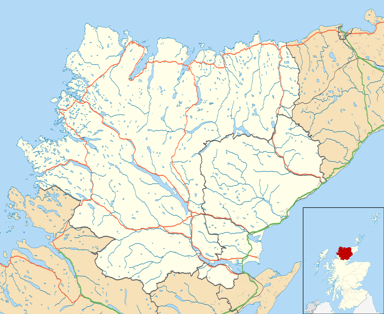
Map of Sutherland, UK in 2011, with the following information shown:
Equirectangular map projection on WGS 84 datum, with N/S stretched 180% Geographic limits:
|
| Dáta | |
| Foinse |
|
| Údar | Nilfanion, created using Ordnance Survey data |
| Ceadúnas (Athúsáid a bhaint as an gcomhad seo) |
This file is licensed under the Creative Commons Attribution-Share Alike 3.0 Unported license. Creidiúint: Contains Ordnance Survey data © Crown copyright and database right
|
| Leaganacha eile | File:Sutherland UK blank map.svg - Blank map |
Stair chomhaid
Cliceáil ar dáta/am chun an comhad a radharc mar a bhí sé ag an am sin.
| Dáta/Am | Mionsamhail | Toisí | Úsáideoir | Nóta tráchta | |
|---|---|---|---|---|---|
| faoi láthair | 13:22, 24 Feabhra 2011 | | 1,425 × 1,166 (2.59 MB) | Nilfanion | {{Information |Description=Map of Sutherland, UK in 2011, with the following information shown: *Ward boundaries *Coastline and lakes *Roads and railways *Urban areas Equirectangular map projection on WGS 84 datum, with N/S stretched 180 |
Úsáid comhaid
Níl nasc ó aon leathanach eile don íomhá seo.
Global file usage
The following other wikis use this file:
- Úsáid ar ar.wikipedia.org
- Úsáid ar ceb.wikipedia.org
- Úsáid ar en.wikipedia.org
- Dornoch
- Durness
- Tongue, Sutherland
- Helmsdale
- Kinlochbervie
- Coldbackie
- Loch Fleet
- Lairg
- Forsinard
- Brora
- Scourie
- Bonar Bridge
- Lochinver
- Clashnessie
- Bettyhill
- Golspie
- Achany
- Achfary
- Achmelvich
- Achnacarnin
- Achnairn
- Achriesgill
- Achvaich
- Assynt
- Dornoch Cathedral
- Dunrobin Castle
- Kinbrace
- Rogart
- Ardgay
- Inveran
- Embo, Sutherland
- Upper Bighouse
- Achavandra Muir
- Culrain
- Eriboll
- Strathy
- Melvich
- Achfrish
- Achina, Highland
- Achrimsdale
- Altass
- Ardachu
- Ardchronie
- Borgie
- Aultiphurst
- Badninish
- Evelix
- Inchnadamph
View more global usage of this file.