
Íomhá:Outer Hebrides UK blank map.svg

Size of this PNG preview of this SVG file: 456 × 600 picteilín. Other resolutions: 182 × 240 picteilín | 365 × 480 picteilín | 584 × 768 picteilín | 779 × 1,024 picteilín | 1,557 × 2,048 picteilín | 1,083 × 1,424 picteilín.
Taispeáin leagan ardtaifigh den íomhá (Comhad SVG, ainmniúil 1,083 × 1,424 picteilíni, méid comhaid: 3.01 MB)
| Seo comhad as An Cómhaoin Viciméid. Tá an tuairisc as an leathanach tuairisc Cómhaoin a leanas thíos.
|
| Tuairisc |
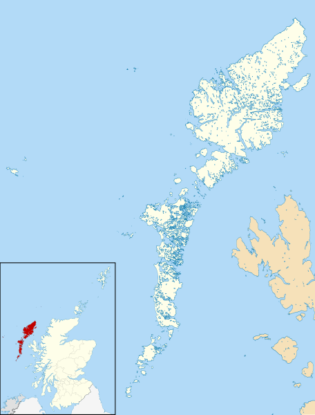
Blank map of the Outer Hebrides (excluding Sula Sgeir), UK with districts shown. Equirectangular map projection on WGS 84 datum, with N/S stretched 180% Geographic limits:
|
| Dáta | |
| Foinse | Ordnance Survey OpenData. Most data from Boundary-Line product. Lake data from Meridian 2 product. Inset derived from File:Scotland location map.svg by NordNordWest. |
| Údar | Nilfanion, created using Ordnance Survey data |
| Ceadúnas (Athúsáid a bhaint as an gcomhad seo) |
This file is licensed under the Creative Commons Attribution-Share Alike 3.0 Unported license. Creidiúint: Contains Ordnance Survey data © Crown copyright and database right
|
Stair chomhaid
Cliceáil ar dáta/am chun an comhad a radharc mar a bhí sé ag an am sin.
| Dáta/Am | Mionsamhail | Toisí | Úsáideoir | Nóta tráchta | |
|---|---|---|---|---|---|
| faoi láthair | 08:52, 22 Lúnasa 2010 | | 1,083 × 1,424 (3.01 MB) | Nilfanion | {{Information |Description=Blank map of the Outer Hebrides (excluding Sula Sgeir), UK with districts shown. Equirectangular map projection on WGS 84 datum, with N/S stretched 180% Geographic limits: *West: 8.65W *Ea |
Úsáid comhaid
Níl nasc ó aon leathanach eile don íomhá seo.
Global file usage
The following other wikis use this file:
- Úsáid ar os.wikipedia.org